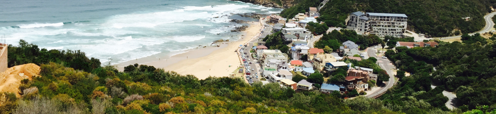
Herolds Bay is situated in an extremely high fire-risk area.
The last major wildfire around Herolds Bay was in 2002, meaning that the area carries a huge, unburnt fire fuel load which makes the area very susceptible to a wildfire outbreak. The proliferation of invasive species which catch fire rapidly such as Pines, Black Wattle, Rooikrans, Gum trees and Port Jackson adds significantly to the fire risk.
The HBRPA endeavours to work closely with key stakeholders including the Southern Cape Fire Protection Association (SCFPA), George Fire Department, Garden Route District Municipality Fire and Rescue Services and Disaster Management unit as well as neighbouring estates and landowners to reduce the risk of fire as much as possible.
However, it is not possible to completely eliminate the risk of fire, and the risk in Herolds Bay will likely remain high. We, therefore, need the whole community to work together to prevent and report fires. We need to do everything we can to reduce the risk of a fire starting and to report fires as soon as possible to gain vital time that will help give firefighters a better chance to get a fire under control. Reducing fire hazards can make it safer for you to stay and defend your home.
Please refer to the “Be Wildfire Ready Booklet” in the downloadable resources for advice on how to protect your home and our community from fires.
Fire Danger Index (FDI) Rating
The FDI rating system predicts the expected difficulty involved to put out runaway fires, and the higher the rating, the more dangerous the conditions are.
The rating is your trigger to act, so to stay safe you need to be aware of the Fire Danger Rating. During the fire season, the Fire Danger Rating will feature in weather forecasts and be broadcast on radio and TV and published in some newspapers.
The South African Weather Service provides a clear indication through its fire danger index map, of areas at risk of veld fires. Areas marked in red (76 to 100%) are extremely dangerous and areas marked in blue (0 to 20%) are considered safe.
HBRPA Fire and Environment portfolio contact: Fanie Viljoen – sjviljoen@gmail.com
Downloadable Resources:
Online Resources:
· South African Weather Service FDI Map
· Southern Cape Fire Protection Association
· Nasa Fire Map
· Western Cape Government “Fire is EVERYONE’S fight”